About this app
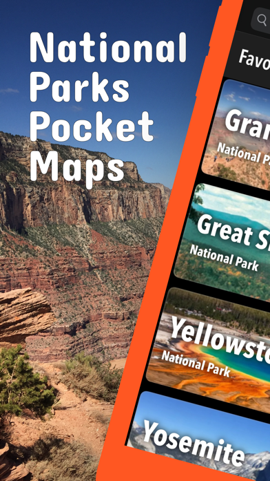
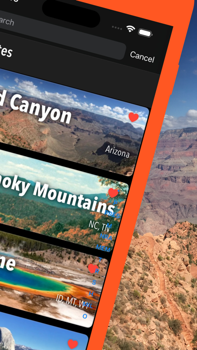
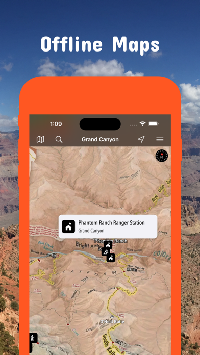
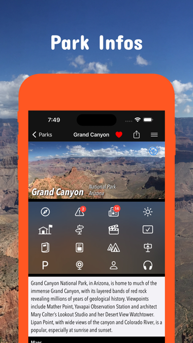
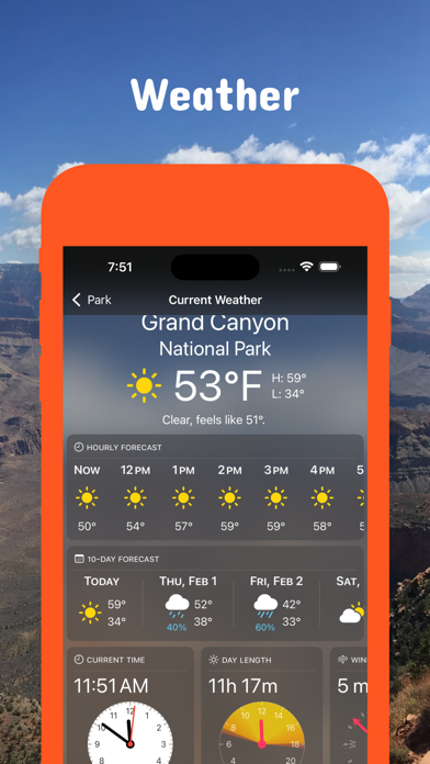
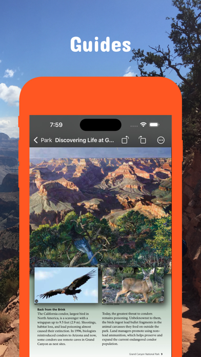
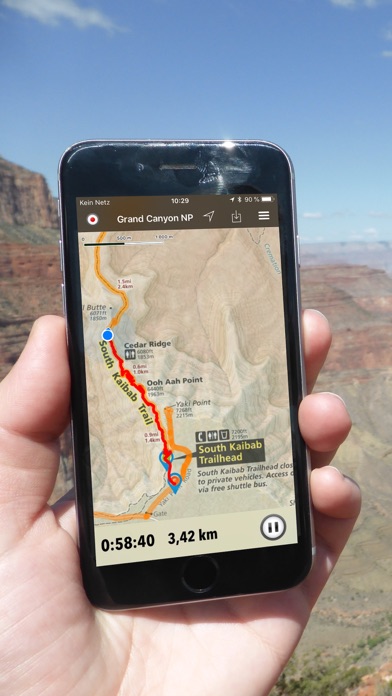
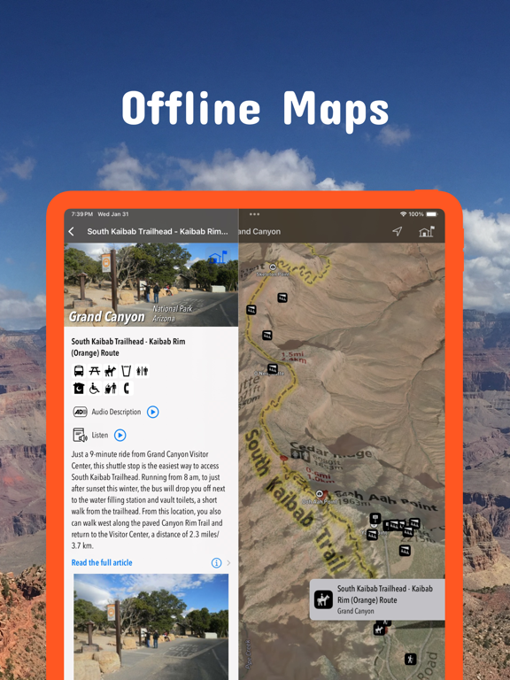
Unleash Your National Park Adventure! Plan & Explore Offline: • Download detailed maps, park guides & brochures before you go - perfect for exploring without cell service. • From Iconic Parks to Hidden Gems: Explore Yellowstone, Yosemite, Grand Canyon, Zion, and 500+ other National Park Service sites - all conveniently accessible within the app. Discover More: • 500+ Parks: National Parks, Monuments, Recreation Areas & more! • 425+ Official NPS Maps & Guides: Download comprehensive resources for seamless exploration. • 7,300+ Campgrounds: Find the perfect spot to pitch your tent. • 11,400+ Trails: Discover breathtaking hikes. • 70,000+ Points of Interest: Explore hidden gems & must-see landmarks. Empower Your Trip: • GPS & GPX Support: Track your hikes, import routes & waypoints. • Detailed Park Info: Alerts, news, visitor centers & weather forecasts. • Offline Access: All downloaded maps & guides work seamlessly offline. • Share with Friends: Recommend parks & send map links easily. Free & Premium Options: Access tons of free content or unlock the full experience with a subscription. Loved by Adventurers: "Shows me what I need to know (where, what to see etc.) for setting up my trip. You don’t realize how many amazing places we can see at our National Parks until you view them on this app." - Lambo2253 - "Wherever I went the map provided accurate information." - MapGirl78 - Download Now & Start Exploring! LEGAL Terms of Use: https://www.icoat.de/pocketmaps/terms Privacy Policy: https://www.icoat.de/pocketmaps/privacy
Latest release
What’s New
Late Summer 2026 Updates! Explore your National Parks with our new navigation tools and advanced data features. What's New • Smooth navigation between map, route and waypoint details. • See elevation gain/loss data in the list of route waypoints. • Activity summary with distance, duration, speed, pace, elevation gain/loss, min/max elevation, start/end, ascent/descent duration and speed, distance effort. • Edit title, description, sport, difficulty, emoji, stars of your routes and activities. • Redesigned route overview lists. Map Updates Updated Trail Details: Explore the latest routes, points of interest, and facilities for Crater Lake National Park, Sequoia & Kings Canyon, Yosemite National Park. • Trusted data Built with official information from the National Park Service, Bureau of Land Management, US Forest Service, recreation.gov, and other agencies.
Audience growth
Ratings growth
Momentum comes from crawler snapshots for the tracked storefront. “Viral growth signal” means unusually fast recent rating gains; it is an indicator, not download data.
Price tracking
Price intelligence
- First observed Aug 12, 2026 · 6:01 PM Free
Screenshots