About this app
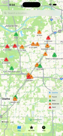
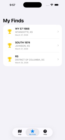
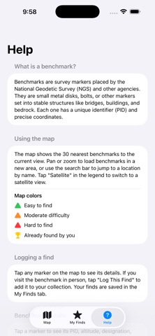
NGS Benchmark Hunter puts hundreds of thousands of National Geodetic Survey markers on a map so you can find them in the real world. Benchmarks are brass or aluminum disks set into rock, concrete, and structures across the United States. Placed by the National Geodetic Survey, they serve as precise reference points for surveying and mapping — and they're everywhere, hiding in plain sight. FEATURES • Browse nearby benchmarks on an interactive map • Color-coded markers show difficulty: green (easy), orange (moderate), red (hard) • View official NGS datasheets, recovery notes, and history for each marker • Log your finds with notes and photos • Search any location to explore benchmarks nationwide • Toggle satellite view to help locate markers in the field Whether you're a surveyor, geocacher, hiker, or just curious, benchmark hunting is a rewarding way to explore the outdoors and discover a hidden piece of America's nfrastructure.
Latest release
What’s New
Fixed bug that prevented the user from directly accessing the camera to log a find.
Audience growth
Ratings growth
Baseline captured. Growth appears after the crawler observes a changed rating count.
Momentum comes from crawler snapshots for the tracked storefront. “Viral growth signal” means unusually fast recent rating gains; it is an indicator, not download data.
Price tracking
Price intelligence
First snapshot captured. The trend line starts after the next crawler price observation.
- First observed Sep 4, 2026 · 12:58 AM Free
Screenshots