About this app
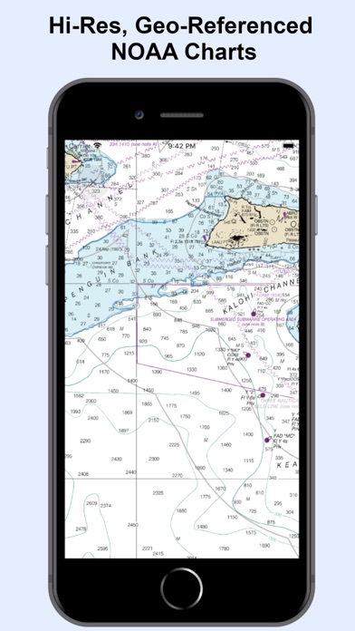
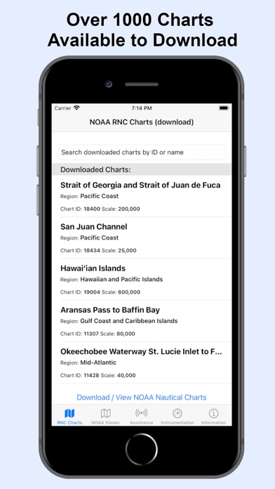
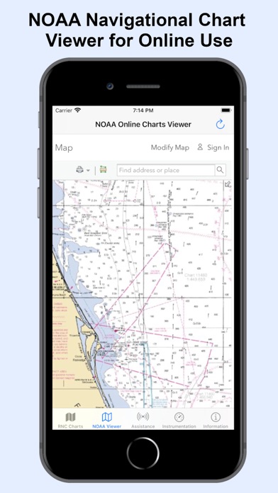
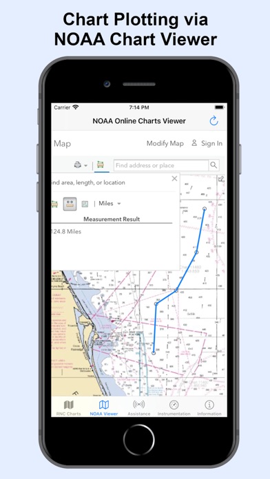
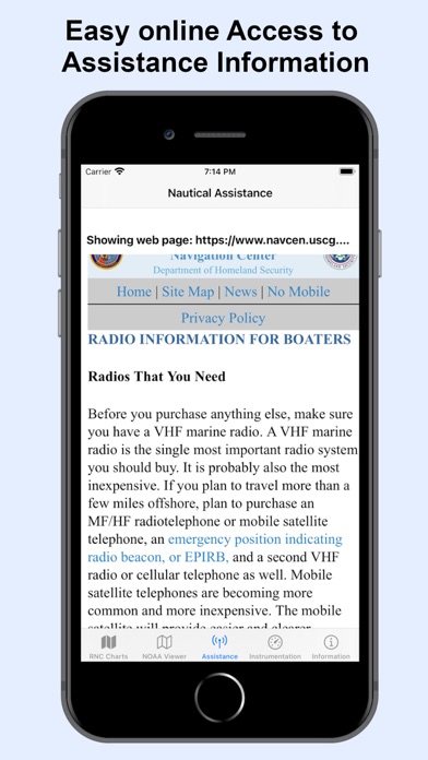
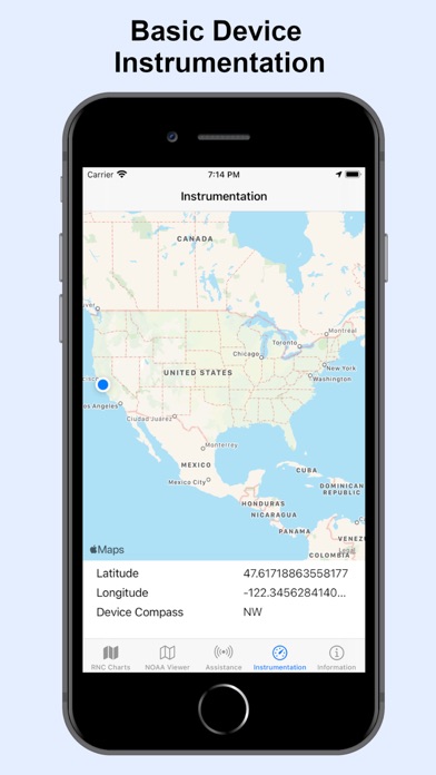
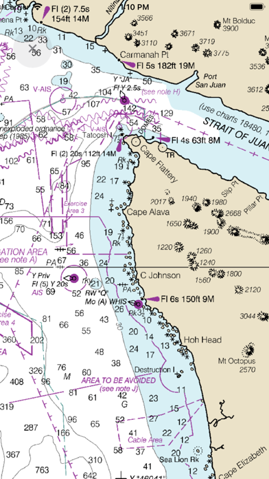
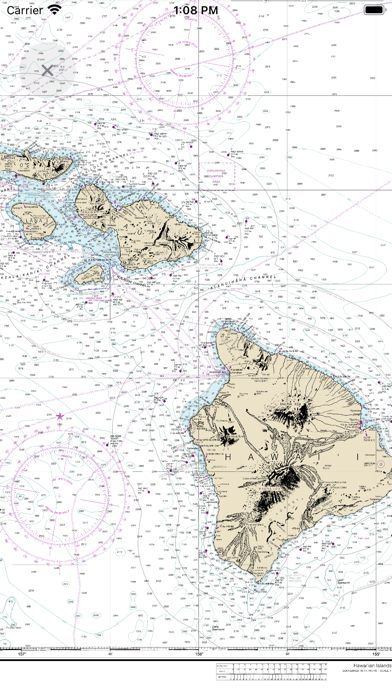
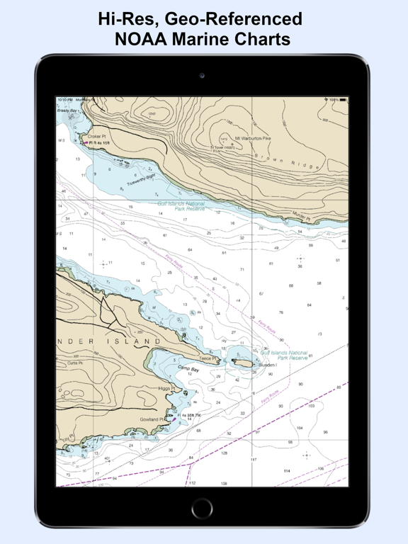
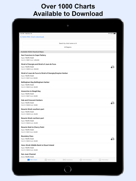
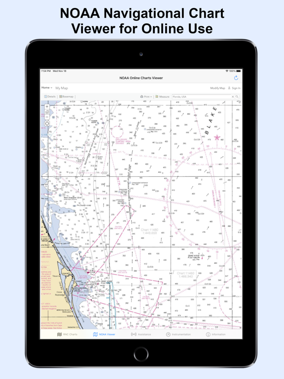
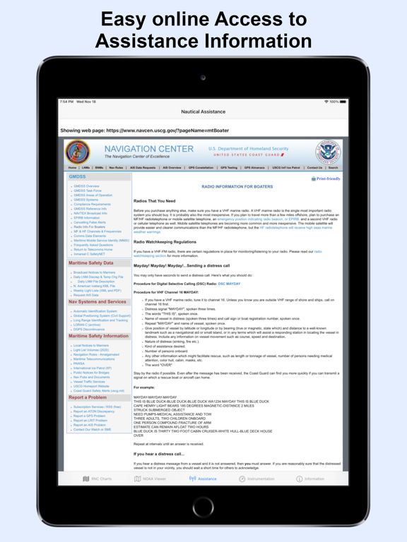
The premium and best app for Nautical Navigation Charts and Maps: * 1000+ NOAA Raster Navigational Charts (RNC) available for download and for offline use. RNC are high resolution, full-color, geo-referenced, digital images of NOAA paper nautical charts. * 1000+ NOAA Navigational Charts for online use that includes GPS location, navigation plotting and more. * Basic instrumentation - GPS location, Longitude, Latitude and Device Compass. * Assitance Support - Link to Navigation Center, Radio Information.for Boaters. Additional information about the charts and data provided with this app: NOAA RNC® charts are full-color, geo-referenced, digital images of NOAA paper nautical charts. RNCs can be used with global positioning system (GPS) enabled electronic chart systems or other “chart plotter” display systems to provide real-time vessel positioning. NOAA RNCs comply with the International Hydrographic Organization RNC Product Specification. RNCs are approved for use by IMO ECDIS mandated vessels only if adequate ENC data is not available. Since complete ENC coverage is available in all U.S. waters, vessels required to use ECDIS may not navigate with NOAA RNCs. NOAA RNCs DO NOT meet USCG chart carriage requirements for commercial vessels. NOAA RNCs may be downloaded free from the NOAA chart locator or the NOAA nautical chart catalog. ---------- Electronic Navigational Charts (ENC) are vector data sets that support all types of marine navigation. Originally designed for large commercial vessels using a sophisticated navigational computer called an Electronic Chart Display and Information System (ECDIS), ENCs are now also being used on simpler electronic chart systems and “chart plotters” on many types of ships and by recreational boaters. NOAA ENCs help provide real-time ship positioning, as well as collision and grounding avoidance. NOAA ENCs comply with the International Hydrographic Organization ENC Product Specification. ENCs are produced around the world by many different countries’ national hydrographic or charting agencies. NOAA maintains more than 1,000 NOAA ENC® datasets over U.S. coastal waters and the Great Lakes. The U.S. Army Corps of Engineers produces a similar product, called Inland ENC (IENC) for many U.S. rivers.
Latest release
What’s New
RNC Viewer integration for online Charts
Audience growth
Ratings growth
Baseline captured. Growth appears after the crawler observes a changed rating count.
Momentum comes from crawler snapshots for the tracked storefront. “Viral growth signal” means unusually fast recent rating gains; it is an indicator, not download data.
Price tracking
Price intelligence
First snapshot captured. The trend line starts after the next crawler price observation.
- First observed Aug 19, 2026 · 8:35 PM $5.99
Screenshots