About this app
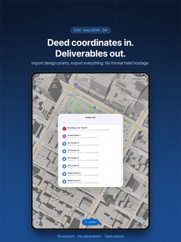
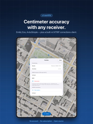
OpenSurvey3D is a survey-grade field app that starts with the GPS already in your pocket and scales to centimeter accuracy when you connect a GNSS receiver. No account, no subscription, no data held hostage. WALK UP AND COLLECT Tap Collect, pick what you're recording, and it's on the map. Points for markers, control points, utility poles, manholes, valves, hydrants, signs and trees. Boundary lines, fence lines and paths. Parcels, fields and building footprints, with length and acreage updating as you walk the perimeter. MEASUREMENTS YOU CAN DEFEND Every position carries its own audit trail: which source produced it, the fix type, horizontal and vertical accuracy, how many samples were averaged, and when it was measured. Hold to average an occupation and watch the RMS spread converge — at a single point, or at every corner of a boundary. CENTIMETER ACCURACY, ANY RECEIVER Connect a GNSS rover that streams NMEA over TCP in Wi-Fi hotspot mode. Accuracy comes from the receiver's own error statistics rather than a guess. The built-in NTRIP client pulls RTCM corrections from a caster and forwards them to the rover, so you can watch a float solution go fixed in the field. DEED COORDINATES IN, DELIVERABLES OUT Import design points from CSV or GeoJSON — latitude and longitude, or raw northing and easting interpreted in your zone. 325 NAD83 State Plane and UTM zones are built in, and the projection engine is validated against PROJ to under a centimeter. Imported points appear as distinct pins and stake out like anything else. STAKE OUT WITH CONFIDENCE Navigate to any asset or imported design point. Live distance and bearing, north and east offsets, a tolerance ring that turns green when you are on it, and an as-staked record saved with its deviation. Multi-corner boundaries step corner by corner. WORKS WHERE THE WORK IS Download the map for your job site and keep working with no signal. Projects, photos and positions all live on the device, and each project keeps its own coordinate system. EXPORTS THAT ARE NOT A PAYWALL CSV with one row per vertex, including projected easting and northing when a zone is set. GeoJSON with true point, line and polygon geometry. Or one ZIP containing the data and every photo, ready to hand to a client. OPEN SOURCE OpenSurvey3D is MIT licensed and developed in the open. Read the code, file an issue, or build your own. Centimeter accuracy requires a compatible GNSS receiver and a correction source, neither of which is included. Accuracy from the phone alone is typically 3 to 5 meters.
Audience growth
Ratings growth
Baseline captured. Growth appears after the crawler observes a changed rating count.
Momentum comes from crawler snapshots for the tracked storefront. “Viral growth signal” means unusually fast recent rating gains; it is an indicator, not download data.
Price tracking
Price intelligence
First snapshot captured. The trend line starts after the next crawler price observation.
- First observed Aug 13, 2026 · 10:58 AM Free
Screenshots