About this app
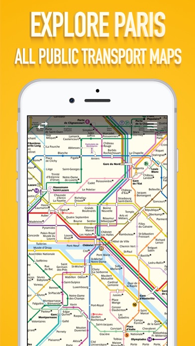
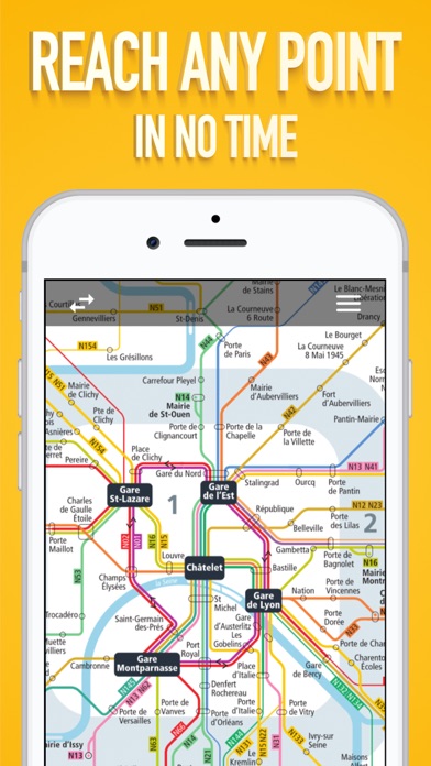
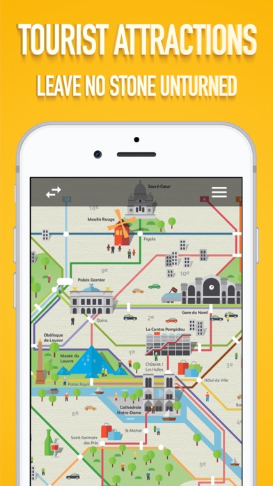
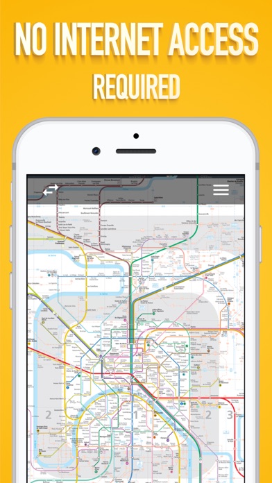
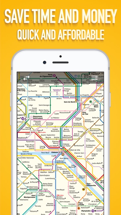
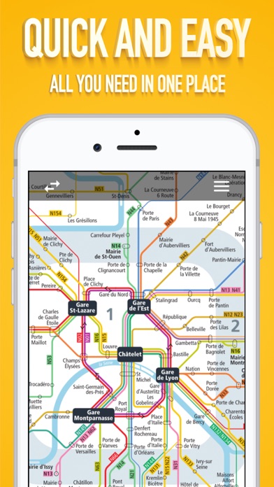
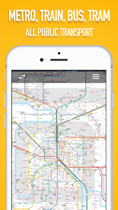
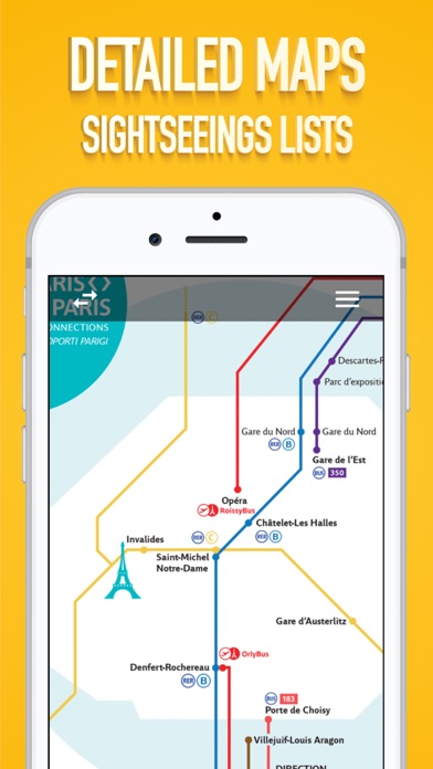
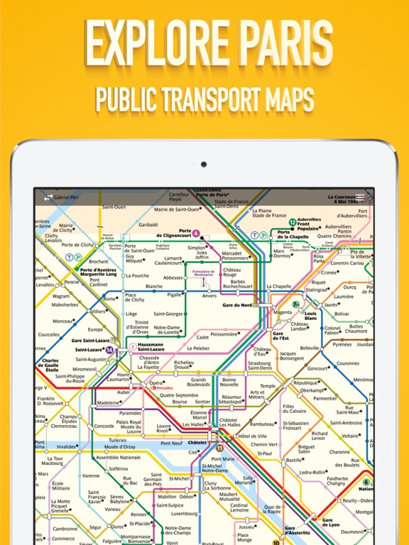
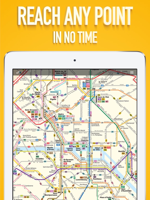
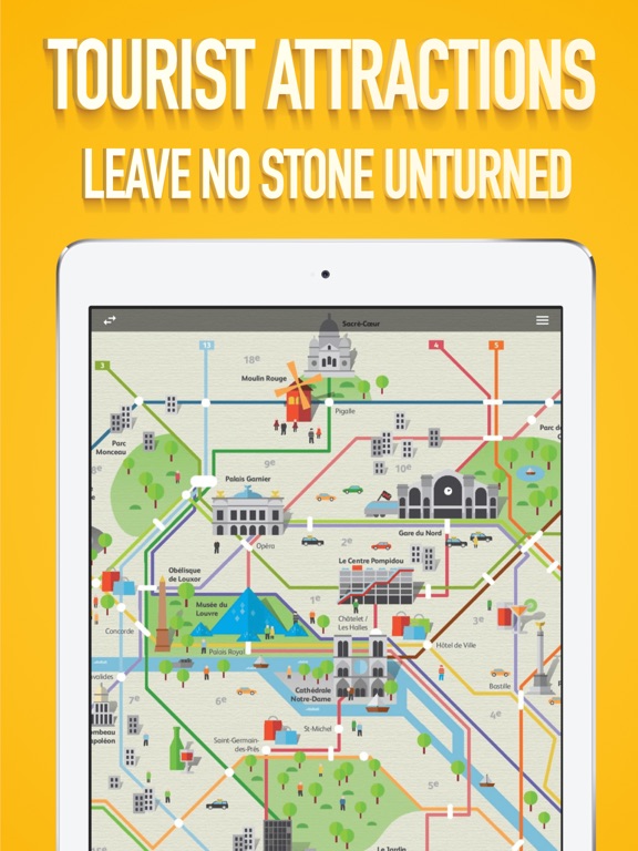
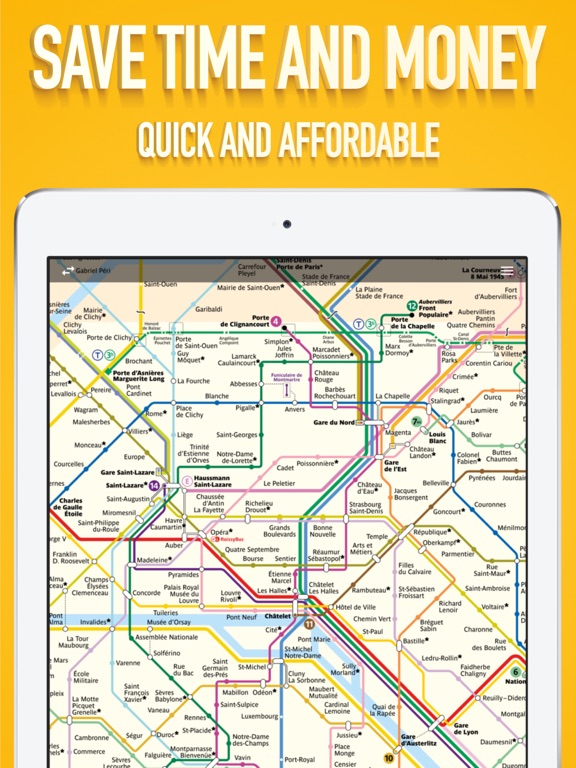
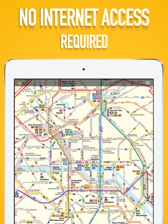
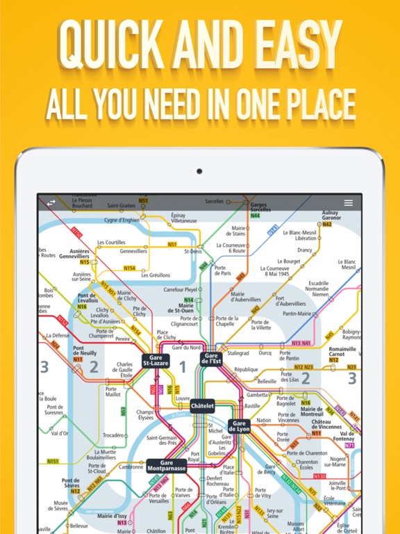
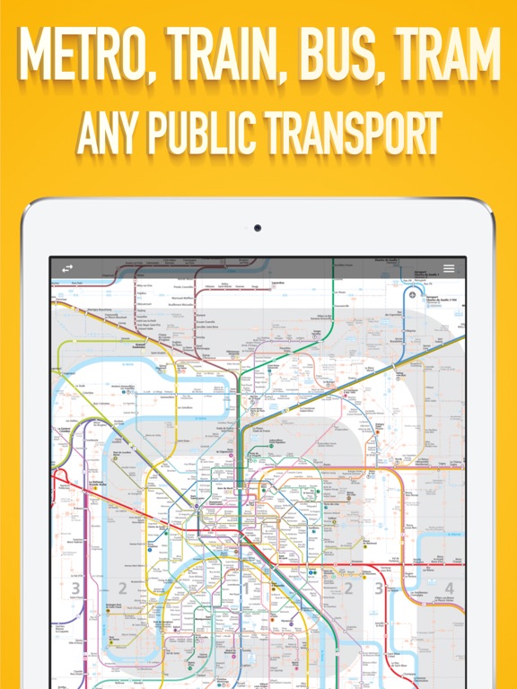
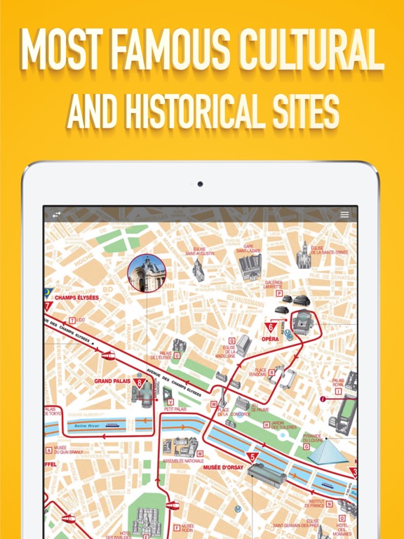
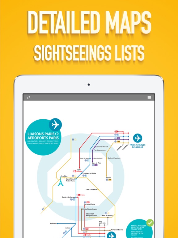
Get around Paris using the public transport system. Visit all the places and sights you have planned to. The app can work offline as well. It is a great alternative to the paper maps. Easy to use and has a very clean interface. It includes the following maps: - Paris Public Transport Lines - Metro Lines - Bus Lines - Airport Connections - Sightseeings maps M, RER, T, Noctilien and BUS. We are constantly trying our best to update to the latest available maps and keep the app simple and easy to use.
Latest release
What’s New
Updated maps.
Audience growth
Ratings growth
Baseline captured. Growth appears after the crawler observes a changed rating count.
Momentum comes from crawler snapshots for the tracked storefront. “Viral growth signal” means unusually fast recent rating gains; it is an indicator, not download data.
Price tracking
Price intelligence
First snapshot captured. The trend line starts after the next crawler price observation.
- First observed Aug 22, 2026 · 11:37 PM Free
Screenshots