About this app
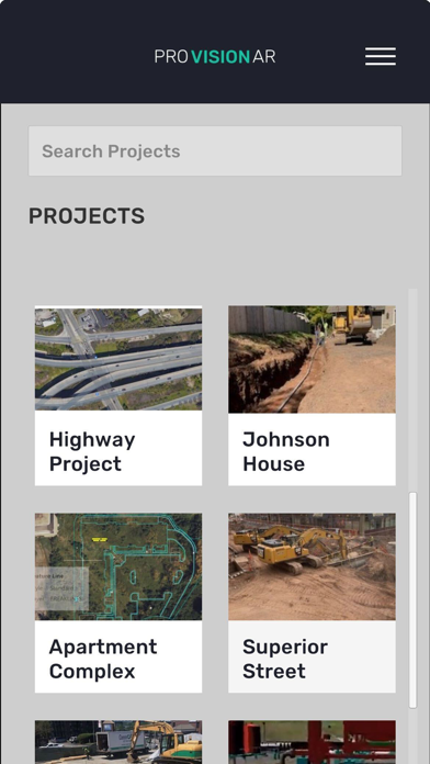
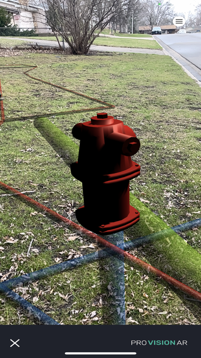
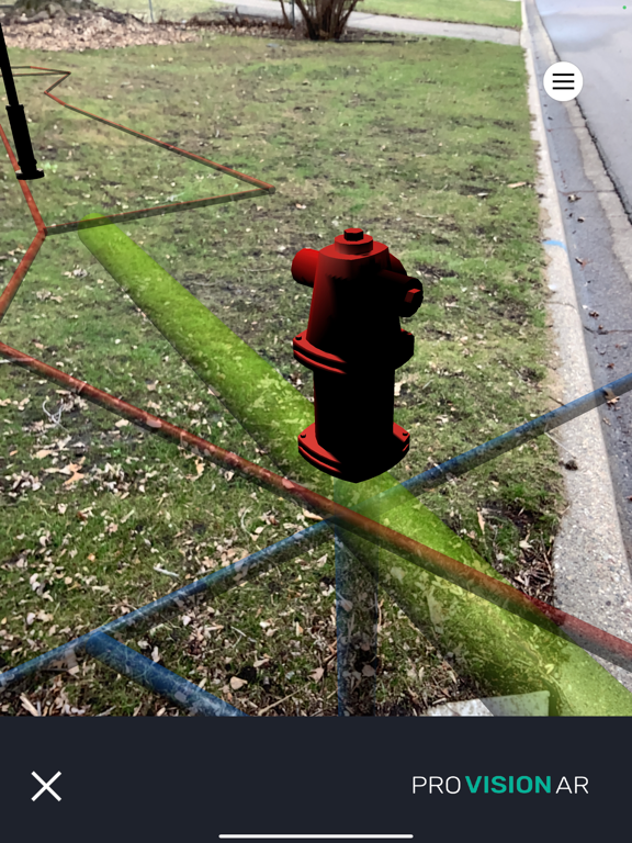
ProVision AR allows users to experience a real-world display of geographically referenced 3D data on their iOS device. Data are projected onto the real world in augmented reality giving the user an "x-ray" view of information which may not be visible below the ground surface or due to other obstructions. Integration with high-accuracy Bluetooth GNSS receivers allows users to view their underground assets, construction design plans, utilities and infrastructure with greater confidence. Features: - Map View: Shows your real-world location with an aerial imagery basemap. - Load models via Google Drive - Set Center: Moves the origin of your model to your current location, useful for troubleshooting or demo purposes. Data privacy: data submitted to Virtual GIS/ProVision AR maintained by privacy policy.
Latest release
What’s New
Updated UI elements and optimizations.
Audience growth
Ratings growth
Baseline captured. Growth appears after the crawler observes a changed rating count.
Momentum comes from crawler snapshots for the tracked storefront. “Viral growth signal” means unusually fast recent rating gains; it is an indicator, not download data.
Price tracking
Price intelligence
First snapshot captured. The trend line starts after the next crawler price observation.
- First observed Aug 23, 2026 · 8:29 AM Free
Screenshots