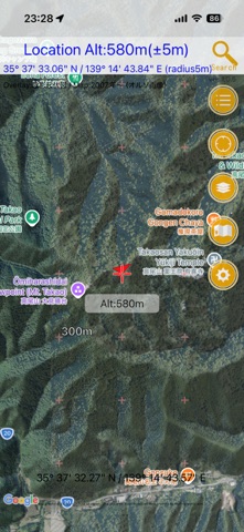
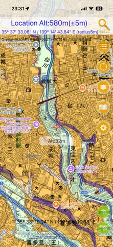
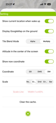
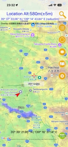
About this app
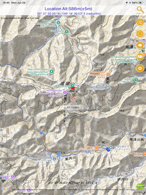
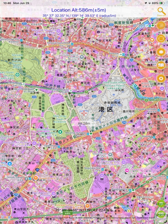
This app lets you display various maps provided by the Geospatial Information Authority of Japan. It can be used within Japan. You can display a wide range of maps, including standard topographic maps, nationwide aerial photographs, residential land use survey maps, aerial photographs taken during disasters, volcano base maps, lake maps, and more — over 160 types in total! You can display three map layers at once: an overlay map, a base map, and Google Maps. The transparency of the overlay map and base map can be adjusted freely. For maps that have legends, you can display the legend with a single tap. Maps displayed on the screen are automatically cached up to 200 MB (*), so they can also be used deep in the mountains where there is no mobile signal, or in airplane mode. The app can also be used as a simple GPS app for hiking. It includes only the minimum GPS features needed to show your current location, making it easy for anyone to use. You can easily check the elevation at the center of the screen. Please use this feature for disaster preparedness and other purposes. * When the cache exceeds the limit, older cached data is automatically deleted when the app starts. You do not need to worry about the app consuming all of your smartphone storage. ■ Notes ・Use of this app is at your own risk. ・We assume no responsibility for the accuracy, safety, or reliability of the information provided. ・Please do not contact the Geospatial Information Authority of Japan regarding this app. Maps: Geospatial Information Authority of Japan [http://www.gsi.go.jp/](http://www.gsi.go.jp/)
Latest release
What’s New
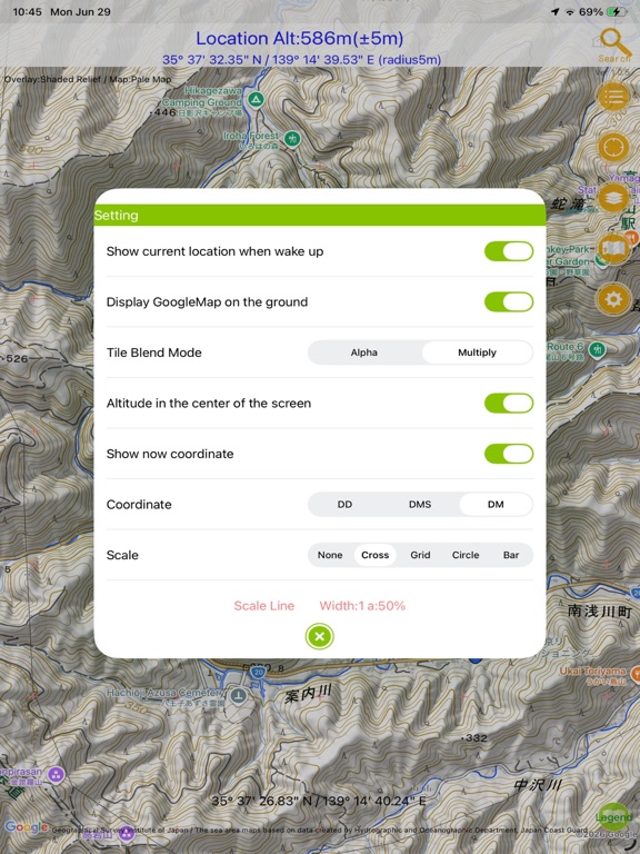
英語版です。 ・The overlay blending method has been changed to Multiply. This makes the map display sharper than before. If performance feels slow, please change it to “Settings → Blending Method → Alpha.” ・The search feature has been improved. It now saves search history and performs real-time searches. Coordinate input in latitude and longitude is also supported. For degrees, minutes, and seconds, enter them like “35/59/59.12 139/59/59.12”: use slashes to separate degrees, minutes, and seconds, enter latitude first, then a half-width space, followed by longitude. ・Banner ads are now displayed in the corner of the screen. In the future, it may become possible to hide ads through an in-app purchase.
Audience growth
Ratings growth
Baseline captured. Growth appears after the crawler observes a changed rating count.
Momentum comes from crawler snapshots for the tracked storefront. “Viral growth signal” means unusually fast recent rating gains; it is an indicator, not download data.
Price tracking
Price intelligence
First snapshot captured. The trend line starts after the next crawler price observation.
- First observed Aug 19, 2026 · 12:37 PM Free
Screenshots