About this app
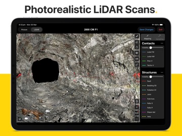
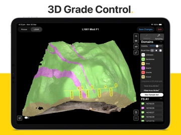
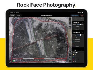
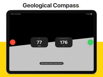
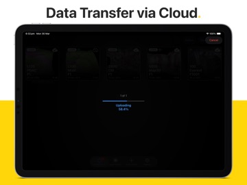
Rock Mapper is packed with powerful features: - 3D LIDAR SCANNING*: Generate photorealistic 3D models of rock faces & drives directly in the field using an iPad Pro. - AUGMENTED REALITY*: Share & re-visit photorealistic LiDAR scans in Augmented Reality on any modern iOS device. - PHOTOGRAPHY*: Take rock face photographs with the iPad's built-in camera. Rock Mapper takes care of all settings. - GEOREFERENCING*: Register rock face photographs and 3D LiDAR scans using survey points or drive direction laser stations. - MAPPING*: Directly map onto rock face photographs & 3D LiDAR scans using fully customisable annotation layers. - GRADE CONTROL*: Record face samples & sampling domains by directly drawing onto the rock face photograph or 3D LiDAR scan. - ROCK MASS ASSESSMENT*: Access dedicated tools for Q System (after Barton et al 1974) and RMR (after Bieniawski 1989). - REPORTING*: Auto-generated mapping reports, geotechnical reports & sampling reports saved as PDFs & ready to share. - CLOUD SYNC*: All data immediately available in ready-to-use formats on the Rock Mapper Cloud. - COMPATIBILITY: All data supplied in open, industry-standard formats that seamlessly integrate with 3D modelling platforms and database solutions, including Vulcan, Micromine, Leapfrog, Deswik, Surpac, Datamine, acQuire and MAXGEO datashed. *Only available with subscription Our clients around the globe love the data consistency, data fidelity, ease of use and time savings enabled by Rock Mapper. Lift your geological/geotechnical mapping & grade control workflow to a whole new level. Become a Rock Mapper today.
Latest release
What’s New
- New 'straighten' feature for linear sample sets on LiDAR scans - New 'resize linear sample set interval' option by long-pressing start / end of interval - FaceID now included in metadata CSV file and history CSV file - Sampling Author now included in collar CSV file of linear sample sets - Survey Point & Laser Station input form improvements - JPG size optimisation for all photographs (reduced file sizes without any visible changes in image quality) - New [FaceID]_error.log file to assist with troubleshooting - Simplify / downsample polylines. All mapping lines now have a lower number of nodes, which can be further reduced by enabling Simplify Lines in Settings > General > Mapping Annotations. - LiDAR scanning now supports any device orientation
Audience growth
Ratings growth
Baseline captured. Growth appears after the crawler observes a changed rating count.
Momentum comes from crawler snapshots for the tracked storefront. “Viral growth signal” means unusually fast recent rating gains; it is an indicator, not download data.
Price tracking
Price intelligence
First snapshot captured. The trend line starts after the next crawler price observation.
- First observed Sep 4, 2026 · 6:20 AM Free
Screenshots