About this app
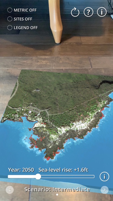
Sea Level Rise AR Visualizer uses augmented reality (AR) technology to create a virtual model of Pu‘uhonua o Hōnaunau National Historical Park and allows you to explore how sea level rise will affect this important site in Hawaiian culture and history. This app was created by scientists at the University of Hawaii Sea Level Center (UHSLC) and funded by the USGS-DOI Pacific Islands Climate Adaptation Science Center (PI-CASC). The app is based on digital elevations and imagery produce by scientists at the United States Geological Survey (USGS) Coastal National Elevation Database (CoNED) and sea level rise projections published by the U.S. National Oceanic and Atmospheric Administration.
Audience growth
Ratings growth
Baseline captured. Growth appears after the crawler observes a changed rating count.
Momentum comes from crawler snapshots for the tracked storefront. “Viral growth signal” means unusually fast recent rating gains; it is an indicator, not download data.
Price tracking
Price intelligence
First snapshot captured. The trend line starts after the next crawler price observation.
- First observed Aug 24, 2026 · 9:10 PM Free
Screenshots