About this app
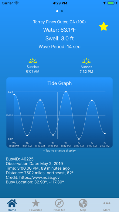
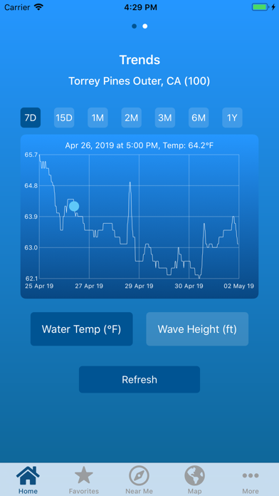
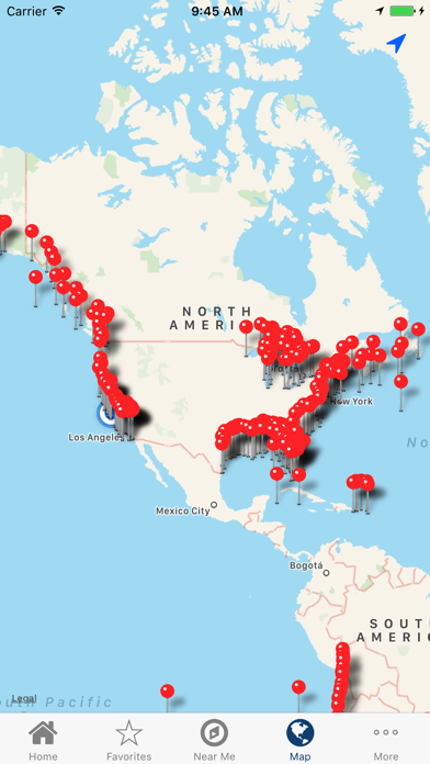
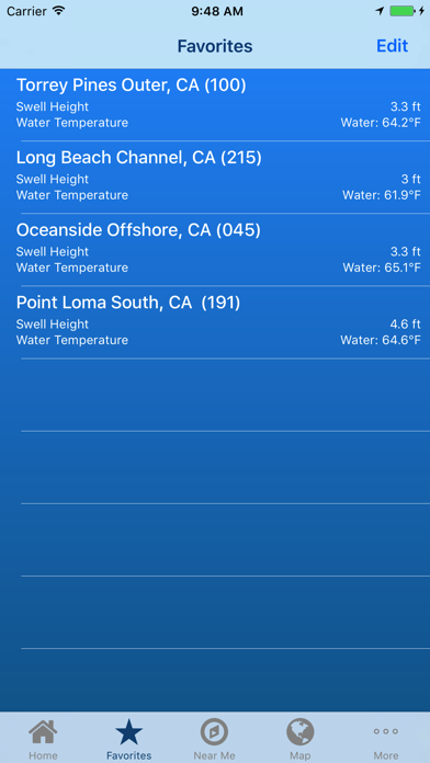
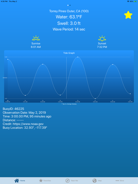
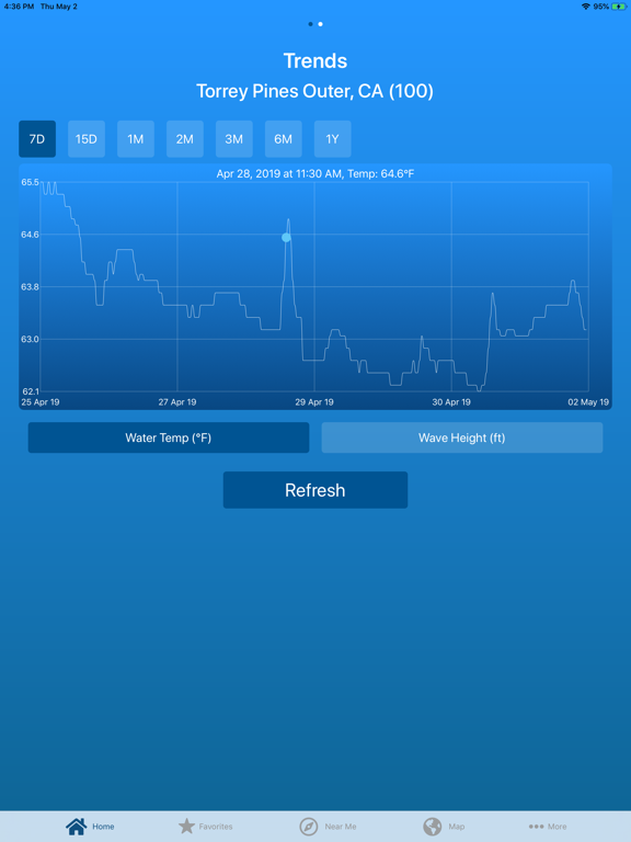
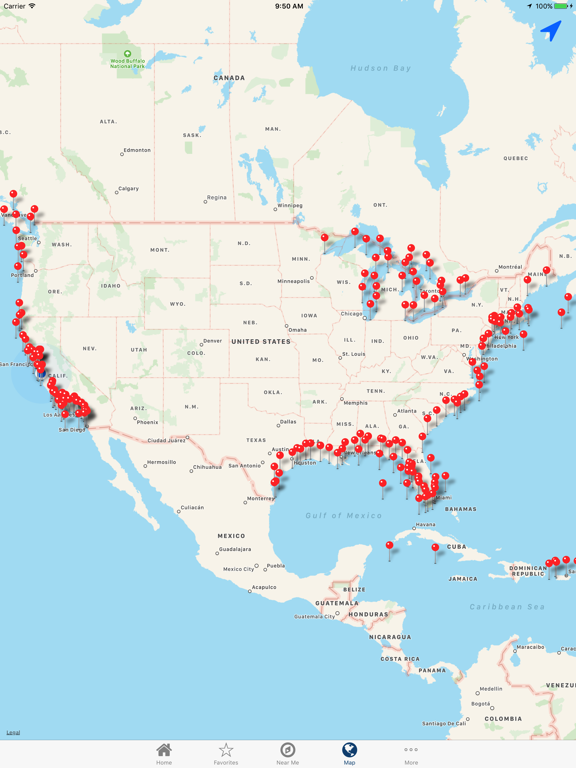
Live scientific readings from ocean buoys around the world. Data is provided by the National Data Buoy Center of NOAA and other public scientific organizations. Most buoys report water temperature and swell height, but some have more information available than others. Automatically select the closest buoy, choose one from the map, or choose from the list. Build a list of favorites for quick access to key buoys. With your device's location function turned on, bearing and distance to the buoy is calculated and displayed. This app is lightweight, easy-to-use, and requires virtually no data usage. Currently, buoys are included from the following locations: US Pacific: Washington to California US Atlantic: Main to Florida Alaska Hawaii US Virgin Islands Puerto Rico US/Canada Great Lakes Caribbean Gulf of Mexico United Kingdom Ireland Spain Portugal Italy Australia Chile
Latest release
What’s New
Bug fixes and API updates
Audience growth
Ratings growth
Baseline captured. Growth appears after the crawler observes a changed rating count.
Momentum comes from crawler snapshots for the tracked storefront. “Viral growth signal” means unusually fast recent rating gains; it is an indicator, not download data.
Price tracking
Price intelligence
- First observed Aug 18, 2026 · 2:46 AM Free
Screenshots