About this app
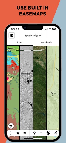
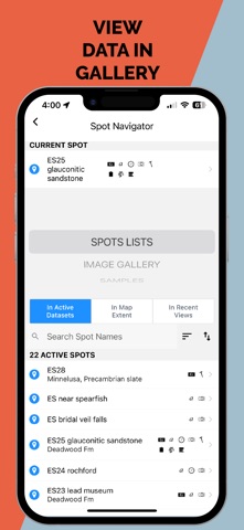
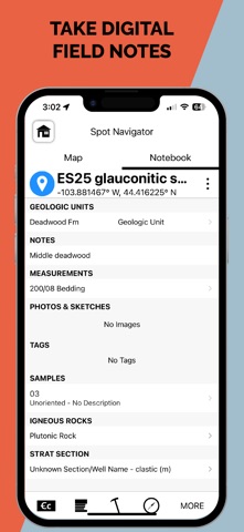
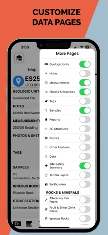
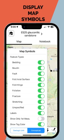
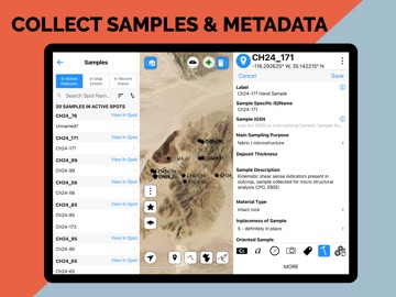
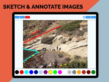
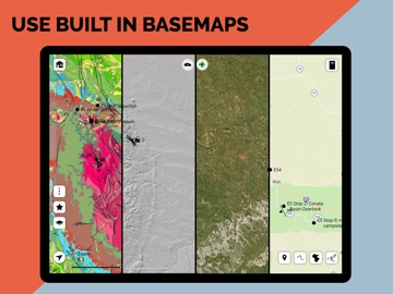
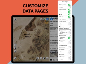
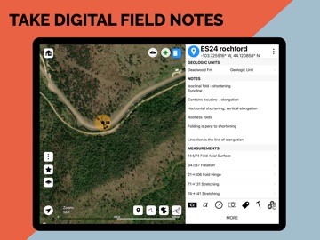
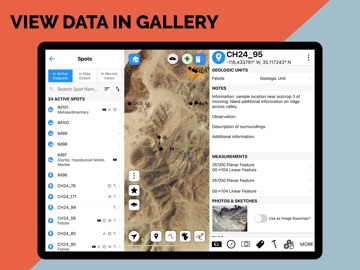
StraboField is a powerful, all-in-one mobile app designed to streamline your geological fieldwork. Record observations, capture photos and sketches, collect orientation data, create geologic maps and stratigraphic sections — all from a single, map-centered platform. Easily collect spatially referenced data using point, line, or polygon-based Spots. Work across multiple scales using nested Spots and high-resolution image basemaps. Designed by geologists, for geologists, StraboField supports workflows across subdisciplines including structural geology, sedimentology, petrology, volcanology, and geomorphology. ** Key Features: ** * Capture field data with photos, sketches, and notes * Collect georeferenced orientation and spatial data * Use custom or built-in basemaps offline * Create multi-scale observations with nested Spots * Organize and back up data locally or to StraboSpot.org * StraboField is fully functional offline, making it ideal for remote fieldwork. Once online, your data can be synced to the StraboSpot digital data system at StraboSpot.org — an open- source platform supported by the National Science Foundation.
Latest release
What’s New
• Forms: Apply constraints to a value of 0 and require a positive interval thickness • Projects: Hide collaborative projects from download list • Improvements: Clear strat section view when deleted or unavailable in current context
Audience growth
Ratings growth
Baseline captured. Growth appears after the crawler observes a changed rating count.
Momentum comes from crawler snapshots for the tracked storefront. “Viral growth signal” means unusually fast recent rating gains; it is an indicator, not download data.
Price tracking
Price intelligence
- First observed Aug 21, 2026 · 1:38 PM Free
Screenshots