About this app
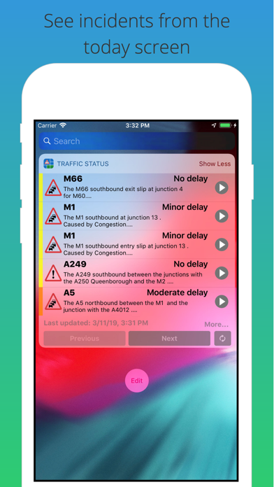
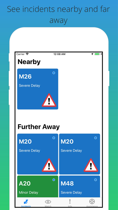
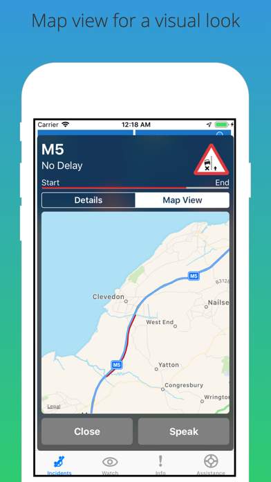
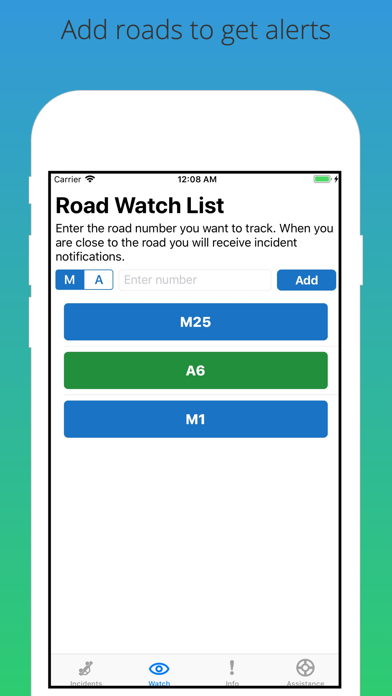
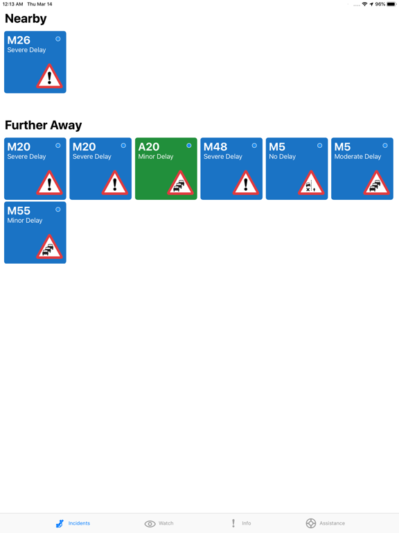
Traffic Stat shows you clear information about the major roads in England managed by the Highways Agency. Clear colour coded tiles showing the key information, Road number, delay, type of incident and lanes closed and to get more details simply click a tile and you can read the full incident description, or why bother? press the speak button to have it read out to you! Features: ● Incident relevance - Incidents that are within a 30 mile radius of your location will appear first. ● Spoken Descriptions - No need to do any reading get issues read out to you. ● Get alerts for your selected road numbers. ● Clear Tiles - Clear tiles show relevant information and icons for the type of incident. ● Call HA - Need to report an issue press the Call Highways Agency button. ● Today View - Details of the closest incidents to you will appear in the today view. I hope you enjoy using this app, and that it becomes a useful tool in your every day life. Information provided by the Highways Agency. Contains public sector information licensed under the Open Government Licence v2.0. For more information see http://www.nationalarchives.gov.uk/doc/open-government-licence/version/2/ "Continued use of GPS running in the background can dramatically decrease battery life."
Latest release
What’s New
general update
Audience growth
Ratings growth
Baseline captured. Growth appears after the crawler observes a changed rating count.
Momentum comes from crawler snapshots for the tracked storefront. “Viral growth signal” means unusually fast recent rating gains; it is an indicator, not download data.
Price tracking
Price intelligence
- First observed Aug 16, 2026 · 6:47 PM Free
Screenshots