About this app
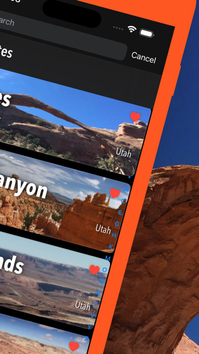
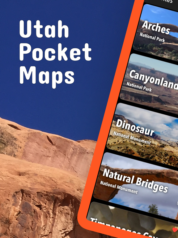
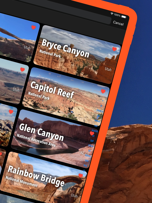
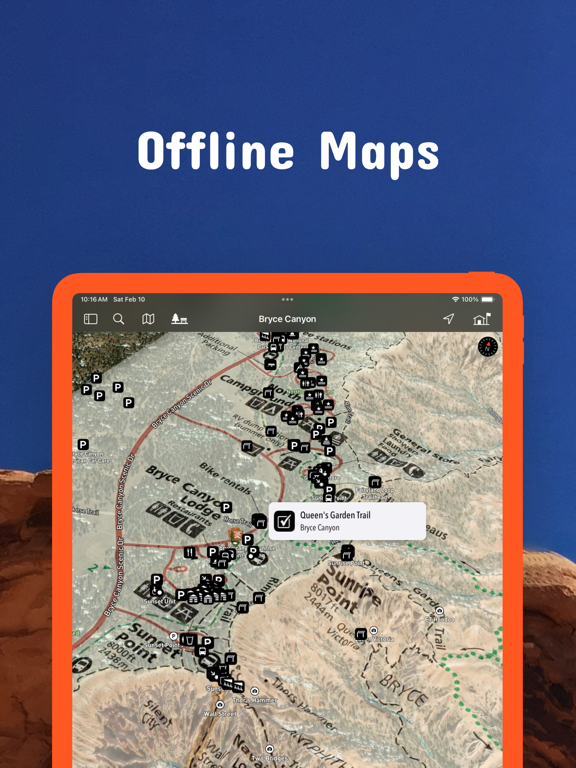
Be prepared! Plan your next trip to one of the great Utah parks. Download maps and guides before you venture into the Wi-Fi free wilderness. - 120+ national parks, state parks, monuments, forests - 180+ neatly folded maps by the National Park Service, Bureau of Land Management, United States Forest Services, and other agencies. - Motor Vehicle Use Maps (MVUM), Motor Vehicle Travel Maps (MVTM) and visitor maps for Utah national forests. - 4,100+ campgrounds and campsites - 2,300+ trails and trailheads - 41,000+ points of interests Plan - Download maps, park brochures, and newspapers. These downloads are ready when you are offline and off the grid in the great outdoors. - Download arbitrary map sections as offline packs. - Photo galleries, panorama views. - Share links to parks and maps with friends Have fun - GPS and GPX support: record your hikes, import GPX routes, tracks and waypoints for your hiking trails. - Detailed national park information: alerts, news, visitor centers, campgrounds, driving directions, weather. - Open your favorite maps app to get a route to the selected park. - Current weather conditions, easy access to multi-day forecasts, sunrise and sunset times. - Push notifications for park alerts, park news, weather warnings So download maps and guides for: Arches Bear Ears Beaver Dam Wash Bonneville Salt Flats Bryce Canyon Burbank Hills Camp Floyd Canyonlands Canyonlands Field 7 Mile Rim Jeep Trail Klondike Bluffs Klonzo and Moab Brands Labyrinth Rims Mill Canyon Area Designated Route Capitol Reef Fremont River Wayne County West Cedar Breaks Cedar City Colorado Riverways Amphitheater Loop and Fisher Towers Hiking Trails Porcupine Rim Mountain Bike Trail The Moab Daily Utah Rims Designated Route Map Conger Mountain Crack Canyon Cricket Mountains Dixie Escalante Pine Valley Powell Fiddler Butte Fishlake Frontier Homestead Thunderbird Canyon and Iron Hills Trails Dinosaur Factory Butte Fantasy Canyon Fishlake Glen Canyon North Wash Goblin Valley Golden Spike / Transcontinental Railroad Gooseberry Mesa Goosenecks San Juan River Grand Staircase-Escalante Burr Trail Scenic Backway and Wolverine Loop Road Cottonwood Road Scenic Backway Hole-in-the-Rock Scenic Backway Monument Travel Map Skutumpah \/ Johnson Canyon Roads Green River Gunlock Horseshoe Canyon (South) Kanab Kodachrome Basin Little Saharah Manti-La Sal Millsite Sevier County Moab Amasa Back Area Mountain Bike Trails BLM Moab Camping Chicken Corners Jeep Trail Gemini Bridges and Long Canyon Poison Spider Mesa Slickrock Bike Trail Steel Bender Jeep Safari Route Monticello Travel Plans Moonshine Arch Mount Pennell Henry Mountains Natural Bridges Otter Creek Palisade Piute County Pony Express Trail Price Red Cliffs Red Fleet Robber Roost San Rafael Swell Sand Hollow Sanpete Salt Lake City Sawtooth Sevier Smithsonian Butte National Back Country Byway Snow Canyon Territorial Statehouse Three Peaks Valley of the Gods Vernal McCoy Flats Moonshine Arch West Wayne Zion There are additional useful information and brochures for many Utah state parks. LEGAL Terms of Use: https://icoat.de/pocketmaps/terms Privacy Policy: https://icoat.de/pocketmaps/privacy
Latest release
What’s New
Early Fall 2026 Updates! Explore Utah's wilderness with our new navigation tools and advanced data features. What's New • Smooth navigation between map, route and waypoint details. • See elevation gain/loss data in the list of route waypoints. • Activity summary with distance, duration, speed, pace, elevation gain/loss, min/max elevation, start/end, ascent/descent duration and speed, distance effort. • Edit title, description, sport, difficulty, emoji, stars of your routes and activities. • Redesigned route overview lists. Map Updates Updated Trail Details: Explore the latest routes, points of interest, and facilities in Utah. • Trusted data Built with official information from the National Park Service, Bureau of Land Management, US Forest Service, recreation.gov, and other agencies.
Audience growth
Ratings growth
Momentum comes from crawler snapshots for the tracked storefront. “Viral growth signal” means unusually fast recent rating gains; it is an indicator, not download data.
Price tracking
Price intelligence
- First observed Aug 12, 2026 · 6:01 PM Free
Screenshots