About this app
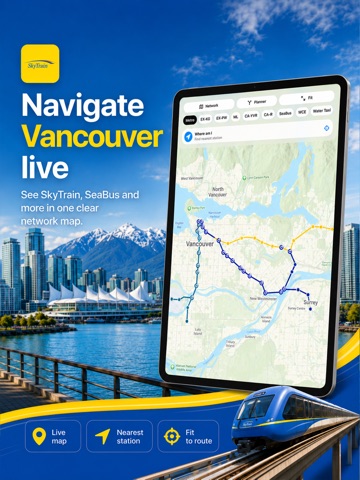
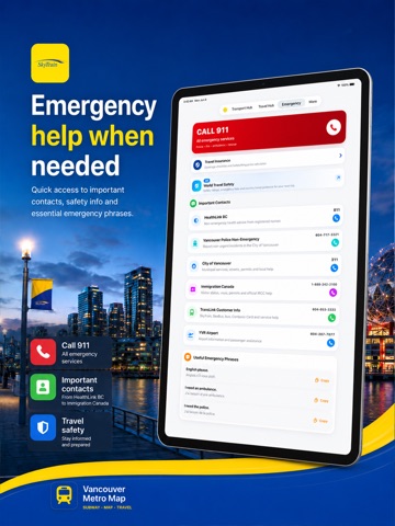
Explore Vancouver and Metro Vancouver with a practical transit map, trip planner and detailed city guide in one app. Plan journeys across the region using SkyTrain, buses, RapidBus, SeaBus, West Coast Express, Aquabus and the Grouse Mountain Skyride. View stations, stops, connections and nearby places directly on the map. TRANSIT MAPS AND ROUTES • Explore Vancouver’s transport network on an interactive map • Find SkyTrain stations, bus stops, ferry docks and rail connections • Zoom, move around the map and locate your current position • Plan trips with estimated travel, boarding and transfer times • Open stations, destinations and routes in Apple Maps • Access useful transport information when planning offline DETAILED VANCOUVER GUIDE Discover attractions, neighbourhoods and experiences throughout Vancouver and the surrounding region. • Stanley Park and Vancouver’s beaches • Granville Island and False Creek • Gastown, Chinatown and Downtown Vancouver • Grouse Mountain and North Vancouver • Museums, markets, parks, viewpoints and shopping areas • Carefully selected places near major transit stops • Address, directions, opening information and practical visitor details • Illustrated guide cards for easier trip planning GROUSE MOUNTAIN GUIDE Plan a mountain day with detailed information about: • Getting to the base terminal • SeaBus and bus connections from Downtown Vancouver • Skyride and gondola access • Mountain attractions, viewpoints and walking routes • Hours, tickets and accessibility • A detailed map with your location VISITOR TOOLS • Seven-day Vancouver weather forecast • Sunrise and sunset information • One-to-seven-day itinerary planner • Instagram and photography locations • Attractions and audio guide • Emergency and travel information • Transit fares shown in Canadian dollars, with approximate US dollar values • Tours and activities available through Viator Whether you are commuting across Metro Vancouver or visiting the city for the first time, the app helps you understand the network, choose useful stops and organize every part of your trip. Transit routes, fares, schedules and attraction information may change. Confirm time-sensitive details with the relevant operator before travelling. This is an independently developed travel application. It is not affiliated with, endorsed by or officially connected to TransLink or any transport operator.
Latest release
What’s New
Vancouver has been completely redesigned. • Added an interactive city and transit map with location controls • Expanded coverage of SkyTrain, buses, RapidBus, SeaBus, West Coast Express, Aquabus and Grouse Mountain Skyride • Introduced a detailed route planner with clearer connections • Added more stations, stops and nearby places to the Vancouver guide • Expanded attraction cards with images, addresses, directions and visitor information • Added a detailed Grouse Mountain map and destination guide • Improved the seven-day weather experience • Added Canadian prices with approximate US dollar equivalents • Improved navigation, performance and visual consistency throughout the app • Fixed layout issues and missing guide content
Audience growth
Ratings growth
Baseline captured. Growth appears after the crawler observes a changed rating count.
Momentum comes from crawler snapshots for the tracked storefront. “Viral growth signal” means unusually fast recent rating gains; it is an indicator, not download data.
Price tracking
Price intelligence
- First observed Aug 12, 2026 · 5:39 AM Free
Screenshots