About this app
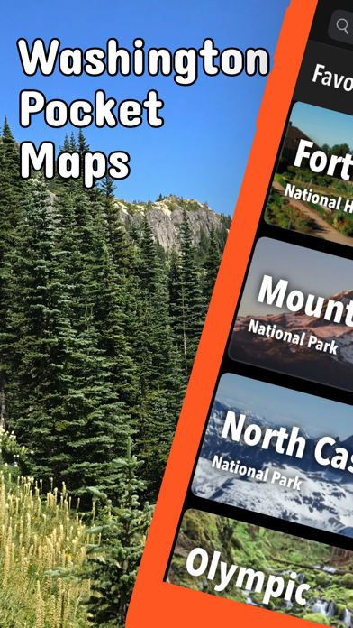
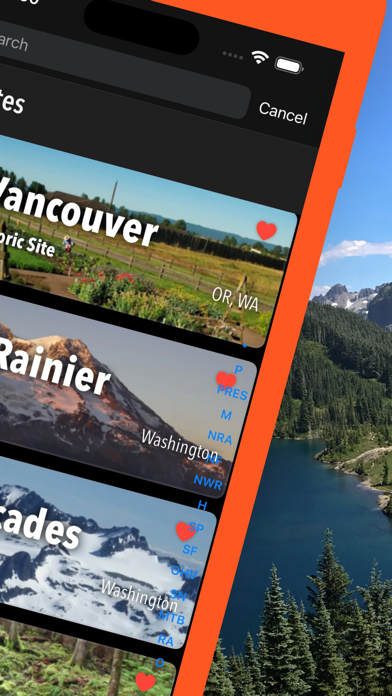
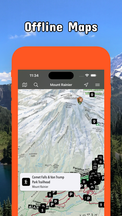
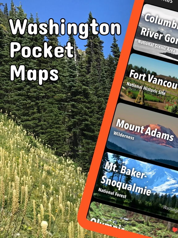
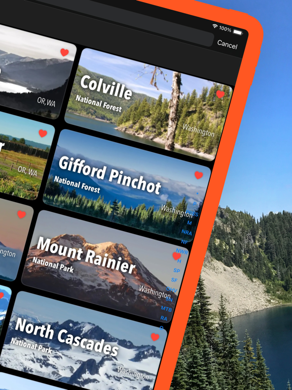
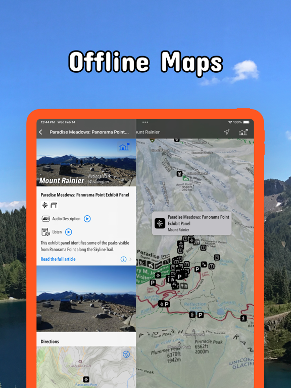
Be prepared! Plan your next trip to one of the great Washington parks. Download maps and guides before you venture into the Wi-Fi free wilderness. Discover - 90+ national parks, state parks, monuments, forests - 180+ neatly folded maps by the National Park Service, Bureau of Land Management, United States Forest Services, and other agencies. - Motor Vehicle Use Maps (MVUM), Motor Vehicle Travel Maps (MVTM) and visitor maps for Texas national forests. - 1,700+ campgrounds and campsites - 2,800+ trails and trailheads - 58,000+ points of interests Plan - Download maps, park brochures, and newspapers. These downloads are ready when you are offline and off the grid in the great outdoors. - Download arbitrary map sections as offline packs. - Photo galleries, panorama views. - Share links to parks and maps with friends Have fun - GPS and GPX support: record your hikes, import GPX routes, tracks and waypoints for your hiking trails. - Detailed national park information: alerts, news, visitor centers, campgrounds, driving directions, weather. - Open your favorite maps app to get a route to the selected park. - Current weather conditions, easy access to multi-day forecasts, sunrise and sunset times. - Push notifications for park alerts, park news, weather warnings So download maps and guides for: Chopaka Lake and Chopaka Mountain Columbia River Gorge Colville Ebey's Landing Fort Vancouver Gifford Pinchot Goat Rocks Idaho Panhandle Klondike Gold Rush Lake Chelan Lake Roosevelt Lewis & Clark Minidoka Mount Adams Mount Rainier Mount St Helens Mt. Baker-Snoqualmie Nez Perce North Cascades Okanogan Olympic Ross Lake San Juan Island Wenatchee Whitman Mission There are additional useful maps and brochures for many Washington state parks, Sno-Parks and mountain bike areas like Ahtanum, Albian Hill, Alpine Baldy, Blanchard, Blewett Pass, Bonaparte, Boulder Cave, Canyon Creek, Capitol, Cherry Valley, Clear Lake, Cougar, Crystal Springs, Deer Creek Nordic, Dockton, Duthie Hill, Echo Ridge, Elbe Hills and Tahoma, Elk Heights, Fishtrap, Green Mountain and Tahuya, Henry's Ridge, Kachess Ridge, Liberty, Middle Fork Snoqualmie, North Fork Chewelah Creek, North Mountain, Palmer Mountain and Split Rock, Paradise Valley, Raging River, Summit Ridge, Swan Creek, Teanaway, Twenty-Five Mile Creek, Twin Lakes, Walker Valley, Yacolt Burn LEGAL Terms of Use: https://www.icoat.de/pocketmaps/terms Privacy Policy: https://www.icoat.de/pocketmaps/privacy
Latest release
What’s New
Late Summer 2026 Updates! Explore Washington's wilderness with our new navigation tools and advanced data features. What's New • Data-Rich Elevation Profiles: Track duration, distance, relative elevation, and your exact location at a glance on your updated elevation graph. • Custom 'Standard' Map Style: Choose our beautifully streamlined custom map interface in your settings. • Instant POI Information: Long-press anywhere on the map to instantly reveal nearby points of interest. • High-Visibility Location Marker: Stay found on the trail with a larger, high-contrast map marker. • Refreshed Map Icons: Spot campgrounds, trailheads, and landmarks quickly with updated iconography. • Smooth navigation between map, route and waypoint details. • See elevation gain/loss data in the list of route waypoints. • Activity summary with distance, duration, speed, pace, elevation gain/loss, min/max elevation, start/end, ascent/descent duration and speed, distance effort. • Edit title, description, sport, difficulty, emoji, stars of your routes and activities. • Redesigned route overview lists. • Performance Boost: Fixed general bugs and optimized code for smoother, faster tracking. Map Updates Updated Trail Details: Explore the latest routes, points of interest, and facilities in Washington. • Trusted data Built with official information from the National Park Service, Bureau of Land Management, US Forest Service, recreation.gov, and other agencies.
Audience growth
Ratings growth
Baseline captured. Growth appears after the crawler observes a changed rating count.
Momentum comes from crawler snapshots for the tracked storefront. “Viral growth signal” means unusually fast recent rating gains; it is an indicator, not download data.
Price tracking
Price intelligence
- First observed Aug 12, 2026 · 6:01 PM Free
Screenshots