About this app
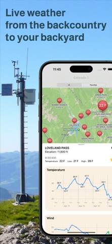
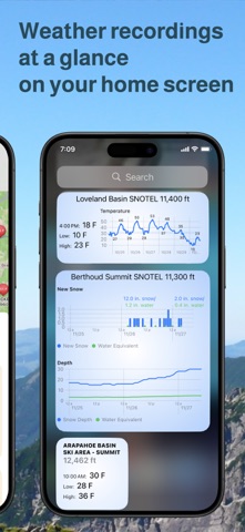
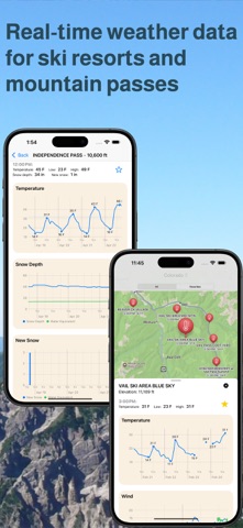
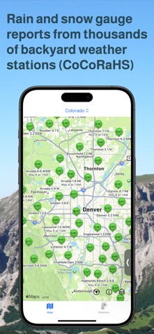
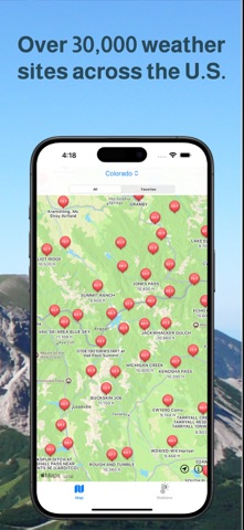
Get real-time weather reports from over 30,000 stations across the United States. Weather Station Map displays live temperature, wind, rain and snowfall recordings from cities, airports, transportation departments, backyard community networks, ski areas and remote backcountry stations. Obtain detailed weather reports for planning your outdoor activities. Find where the deepest snow fell last night, monitor for an overnight freeze and follow how strong the wind is blowing. With Weather Station Map's access to live, on the ground data, you will never have to guess the weather, no matter how far afield you venture. Weather Station Map displays data from the following networks: SNOTEL (Snow Telemetry) CoCoRaHS (Community Collaborative Rain, Hail and Snow Network) Citizen Weather Observer Program (CWOP) Road Weather Information System (RWIS) Hydrometeorological Automatied Data System (HADS) Maritime buoys New England Pilot Project Data (NEPP) U.S. Climate Reference Network (CRN) METAR (Meteorological Terminal Aviation Routine Weather Report) Mesonet
Latest release
What’s New
Bug fixes and UI improvements.
Audience growth
Ratings growth
Baseline captured. Growth appears after the crawler observes a changed rating count.
Momentum comes from crawler snapshots for the tracked storefront. “Viral growth signal” means unusually fast recent rating gains; it is an indicator, not download data.
Price tracking
Price intelligence
First snapshot captured. The trend line starts after the next crawler price observation.
- First observed Aug 19, 2026 · 9:40 AM Free
Screenshots