About this app
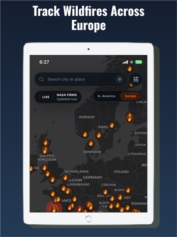
Wildfire Map: Real-time monitoring of fires, smoke, AQI, and weather conditions in North America and Europe. The Wildfire Map helps you monitor wildfire activity in real time across North America and Europe using satellite data from hotspots. Visualize active fires on an interactive map, check nearby smoke risk, the Air Quality Index (AQI), wind, humidity, temperature, and other weather conditions that favor fire spread—all from one easy-to-use app. Use the Wildfire Map to explore hotspots, monitor selected fire areas, and review environmental conditions that can affect smoke and fire behavior. You can save important locations for easier monitoring. The Wildfire Map is designed for wildfire awareness, fire tracking, smoke monitoring, air quality updates, and weather hazard information. The Wildfire Map provides informative data on wildfires, smoke, weather and air quality, and does not replace official emergency alerts or evacuation recommendations... Terms os Use: https://www.apple.com/legal/internet-services/itunes/dev/stdeula/ Privacy Policy: https://scannercalorieios2024.web.app/
Latest release
What’s New
• Improved application stability and performance. • Fixed issues affecting navigation and user experience. • Increased overall reliability. • General bug fixes.
Audience growth
Ratings growth
Baseline captured. Growth appears after the crawler observes a changed rating count.
Momentum comes from crawler snapshots for the tracked storefront. “Viral growth signal” means unusually fast recent rating gains; it is an indicator, not download data.
Price tracking
Price intelligence
First snapshot captured. The trend line starts after the next crawler price observation.
- First observed Aug 18, 2026 · 1:52 PM Free
Screenshots