Apps by ESRI
ArcGIS QuickCapture app icon

Utilities

ArcGIS QuickCapture

ESRI

Free download 4.31 · 1 storefront · 35 ratings In-app purchases unconfirmed
Open on Apple

About this app

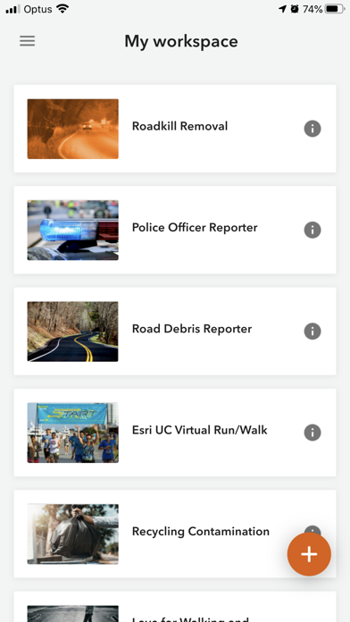
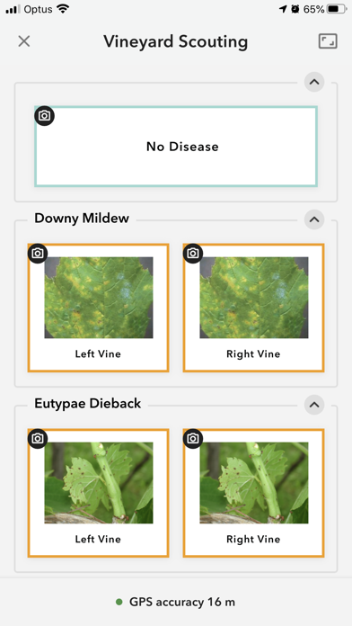
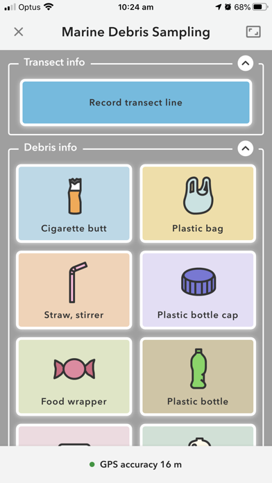
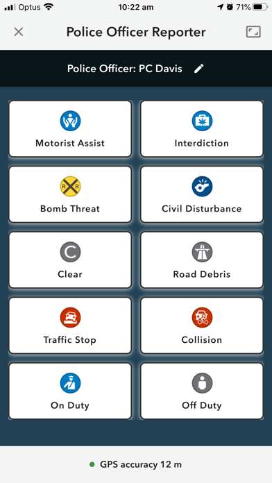
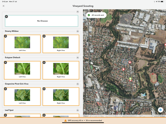
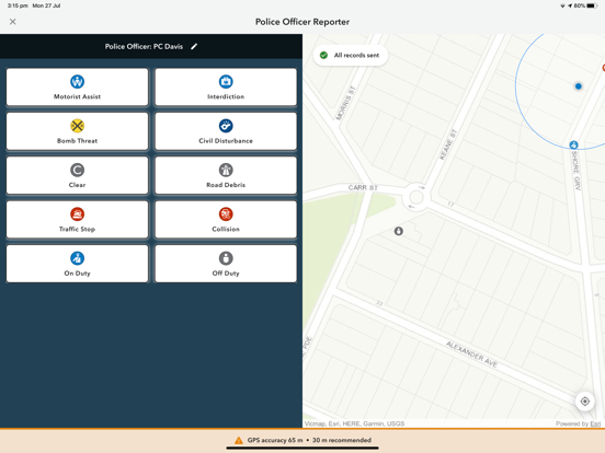
ArcGIS QuickCapture is the fastest way to collect field observations. With this time-saving app, you can record GIS points and other attributes while you scout locations, conduct aerial surveys, or assess damage from a moving vehicle. Capture data at-speed with the touch of a button.

Latest release

What’s New

Version 1.25.16 Apr 21, 2026

• A bug was fixed in which records could not be sent to ArcGIS Enterprise because of duplicate records. • A bug was fixed in which records could not be sent to layers that did not have attachments enabled. • A bug was in fixed in which background location updates were suspended while the camera preview was open.

Audience growth

Ratings growth

Steady
7-day gain +0
Ratings / day 0.0
30-day gain +0
US rating-count history
35 ratings
35 Aug 10, 2026 · 35 ratings Aug 10, 2026

Baseline captured. Growth appears after the crawler observes a changed rating count.

Momentum comes from crawler snapshots for the tracked storefront. “Viral growth signal” means unusually fast recent rating gains; it is an indicator, not download data.

Price tracking

Price intelligence

1 captured event
Current Free
Historical low Free
Paid → free
Price history
Current Free
Free Aug 10, 2026 · Free Aug 10, 2026

First snapshot captured. The trend line starts after the next crawler price observation.

  1. First observed Aug 10, 2026 · 5:19 PM Free

Screenshots

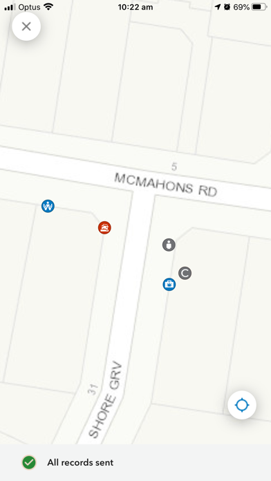
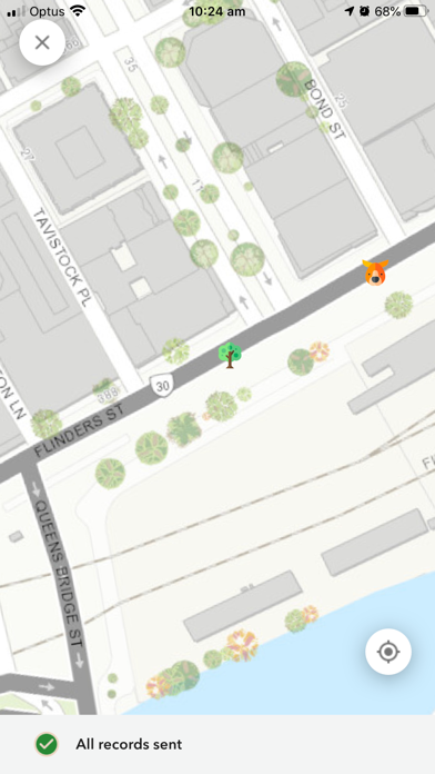
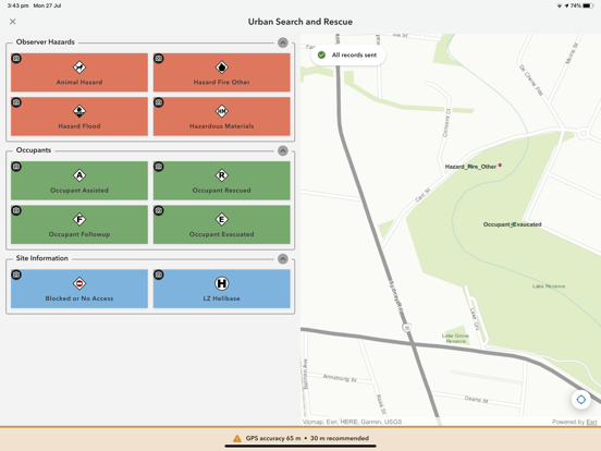
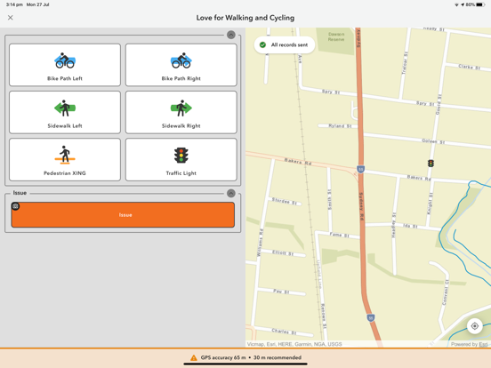
ArcGIS QuickCapture iPhone screenshotArcGIS QuickCapture iPhone screenshotArcGIS QuickCapture iPhone screenshotArcGIS QuickCapture iPhone screenshotArcGIS QuickCapture iPhone screenshotArcGIS QuickCapture iPhone screenshotArcGIS QuickCapture iPhone screenshotArcGIS QuickCapture iPhone screenshotArcGIS QuickCapture iPhone screenshot ArcGIS QuickCapture iPad screenshotArcGIS QuickCapture iPad screenshotArcGIS QuickCapture iPad screenshotArcGIS QuickCapture iPad screenshotArcGIS QuickCapture iPad screenshotArcGIS QuickCapture iPad screenshotArcGIS QuickCapture iPad screenshotArcGIS QuickCapture iPad screenshotArcGIS QuickCapture iPad screenshotArcGIS QuickCapture iPad screenshot